Fire, weather, traffic, and cameras.
Popular cameras
Tap a picture to open that road.
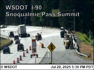 Snoqualmie · Summit WestWSDOT
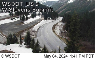 Stevens · West SummitWSDOT
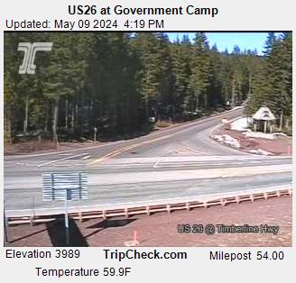 Hood · Government CampODOT
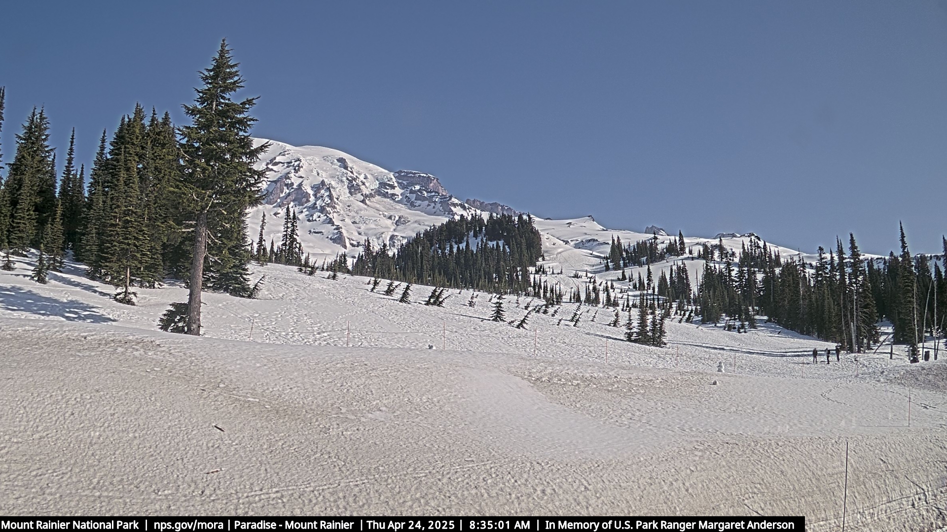 Rainier · ParadiseNPS
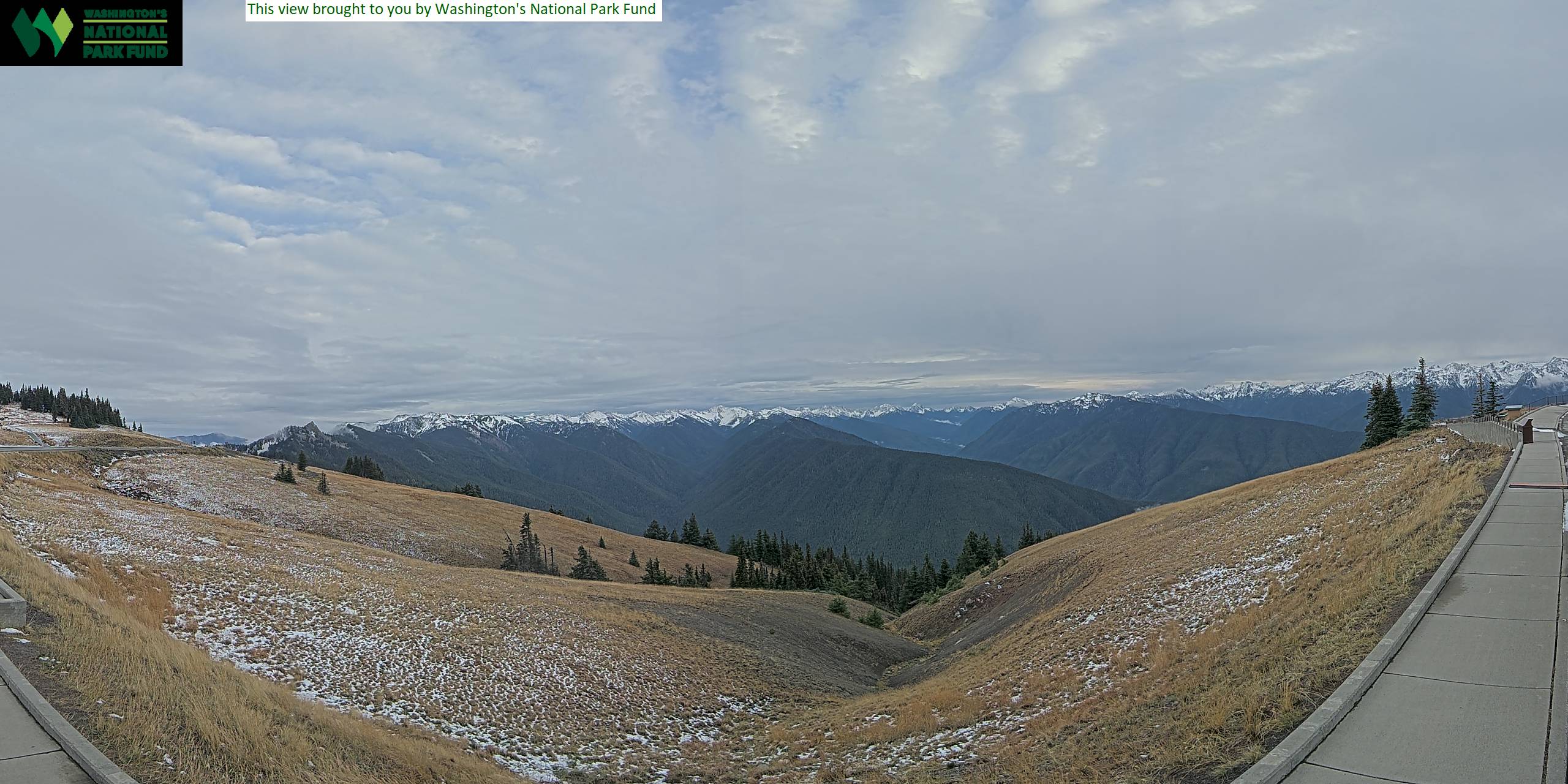 Olympics · Hurricane RidgeNPS
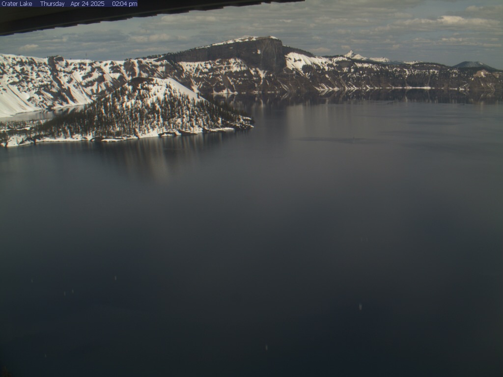 Crater Lake · SinnottNPS
Official stills from WSDOT, ODOT, Idaho 511, and the National Park Service. A clear picture does not cancel a chain requirement.
Answers
What people check here
Always verify pass conditions via the official WSDOT, Oregon TripCheck, or Idaho 511 page. It is the definitive source for closures and chain requirements. We show the pictures.